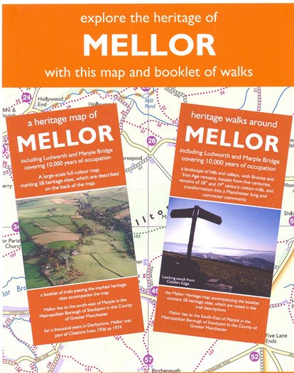
The Mellor Heritage Map and Walks Booklet
The Map identifies 58 heritage sites and is accompanied by a Walks Booklet of 12 heritage walks within the Project Area and giving cross-references to all of the heritage sites they pass. The 12 heritage walks include:
1. Mellor landscapes [church to Shiloh road] - 4.5m km
2. Mill Brow, wealth of water power - 6 km
3. Around the Northwest [Bottoms Hall to Etherow] - 9.5 km
4. Three Brookbottoms figure of 8 - 12 km
5. A prehistoric perambulation [Cobden edge to Chisworth] - 13.5 km
6. Samuel Oldknow [Marple to Roman Bridge] - 6 km
7. John Wesley, Methodists and Independents [Devil's Elbow to Paradise] - 11.5 km
8. An approach from New Mills - 3.5 km
9. The deep south - 4 km
10. A northern amble - 5.75 km
11. The inner circle - 9 km
12. Round the boundary - 25 km
The map and Guide are both sold together (they cannot be supplied separately) in a wallet for £10.00 plus post and packing.
(postage that will be charged at current second class postage charge, depending on weight/size of the publication)
All publications may be ordered from Judith Wilshaw, by phoning 0161 427 7285. They can be collected from 25 Hollingworth Drive, Hawk Green, Marple SK6 7JE or will be posted 2nd class large letter rate as soon as payment is received. Payment to be in cash or by cheque, made payable to ‘Mellor Archaeological Trust’.

